

RPCS
Real Projection Coordinate System — a global reference environment presented by KeplerKoord for navigation and geospatial information.
A common spatial language.
RPCS is a global coordinate reference framework, designed to support reversible transformations between 2D and 3D and integration with navigation systems.
The public message behind this redesign is deliberately simple: mathematically, we flatten the Earth.
Geodetically, we have a coordinate system that provides isometric conformality.
10,768 ways to reference the world.
One way to operate it.
RPCS does not replace that geodetic ecosystem; KeplerKoord positions it as a single operational reference environment capable of functioning throughout the entire ecosystem
(2D/3D)
One global operational reference environment.
Multiple sources
GNSS, inertial, radar and geospatial information.
RPCS
One global reference environment for translation and integration.
Operational data
Trajectories, distances and common metric coordinates.
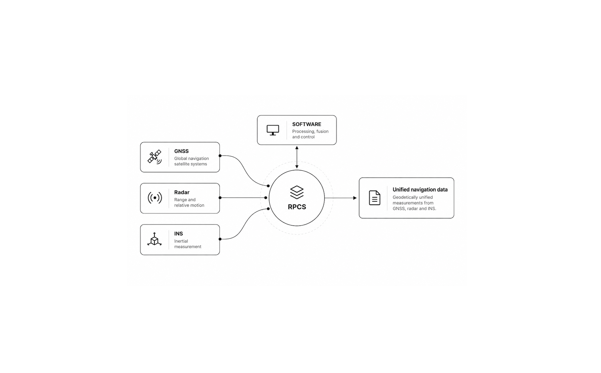
From sensor geometry to mission geometry.
Common Operational Picture (COP)